 |
Aerial Imagery |
15
High Street, Upton upon Severn |
| Home | Maps
& Guidebooks (no login needed) |
Help,
How to & Pricing |
Planning Applications | Buy
Plans etc, online |
Login/Register | Contact |
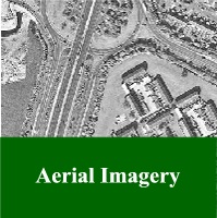
Ordnance Survey OS MasterMap Topographic Layer is a highly accurate, flexible resource covering nationally some 400 million man-made and natural features, from fields to pillar boxes.
This powerful resource is given greater richness by adding aerial imagery. Unlike a conventional map, aerial photography makes it possible to see what is actually on the ground and this enables users to pick out prominent features, which might range from old industrial buildings to tree belts, brooks, ponds and even archaeological features which were previously unknown.
Full GB coverage.