 |
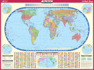
Eckert
World Map- Equal area projection
- Showing
- Political boundaries
- Capital cities
- Relief shading and rivers
- Flags
- Population
- Time Zones
- Scale 1:35,000,000
- Approx. size 1,300mm x 960mm
- Printed on plasticised paper
- Price £11.99
- Due to new postage regulations we are now unable to dispatch this map by 1st class delivery.
Unfortunately we are not able to send this map to overseas addresses because of the
size.
|
ORDER
|
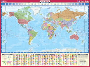 |
Miller
World Map - Alternative projection
- Showing
- Political boundaries
- Relief shading and rivers
- Countries & Capital cities
- Flags
- Time Zones
- Population
- Scale 1:35,000,000
- Approx. size 1,300mm x 960mm
- Printed on plasticised paper
- Price £11.99
- Due to new postage regulations we are now unable to dispatch this map by 1st class delivery.
Unfortunately we are not able to send this map to overseas addresses because of the
size.
|
ORDER
|
 |
Europe
- Lambert & Azimuthal equal area projection
- Showing
- Combined physical & political
information
- Map of the European Union
- International boundaries
- Population & area
- Flags & currency
- Major cities, towns & rivers
- Scale 1:5,225,000
- Approx. size 1,235mm x 912mm
- Printed on plasticised paper
- Price £11.99
- Due to new postage regulations we are now unable to dispatch this map by 1st class delivery.
Unfortunately we are not able to send this map to overseas addresses because of the
size.
|
ORDER
|
 |
British
Isles - Communications Map
- Wall map showing
- Primary routes and motorways
- Airports
- Main rail, road & ferry routes
- National Parks
- Distance Chart in kilometres &
miles
- Channel Tunnel & port of
France
- Scale 1:1,000, 000
- Approx. size 935mm x 1040mm
- Printed on plasticised paper
- Price £11.99
- Due to new postage regulations we are now unable to dispatch this map by 1st class delivery.
Unfortunately we are not able to send this map to overseas addresses because of the
size.
|
ORDER
|
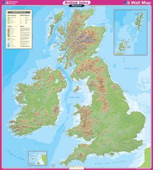 |
British
Isles - Physical Map
- Wall map showing
- Relief and height shading
- Rivers and lakes
- Spot heights
- Names of physical features
- Sea contours
- Scale 1:1,000,000
- Approx. size 935mm x 1040mm
- Printed on plasticised paper
- Price £11.99
- Due to new postage regulations we are now unable to dispatch this map by 1st class delivery.
Unfortunately we are not able to send this map to overseas addresses because of the
size.
|
ORDER
|
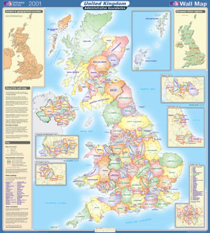 |
British
Isles - Administrative Map
- Wall map showing
- National boundaries
- Unitary Authority boundaries
- Historical counties inset
- County boundaries
- European Region inset
- Scale 1:1,000,000
- Approx. size 935mm x 1040mm
- Printed on plasticised paper
- Price £11.99
- Due to new postage regulations we are now unable to dispatch this map by 1st class delivery.
Unfortunately we are not able to send this map to overseas addresses because of the
size.
|
ORDER
|