 |
Height Data |
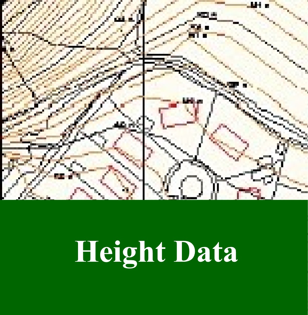
15
High Street, Upton upon Severn |
| Home | Maps
& Guidebooks (no login needed) |
Help,
How to & Pricing |
Planning Applications | Buy Plans | Login/Register | Contact |
MasterMap Height / Contours - An Overview
The Map Shop has enabled easy access to OS MasterMap property level mapping with relevant height information in instantly usable formats. Ordnance Survey OS MasterMap® Topographic Layer is a highly accurate, flexible resource covering nationally some 400 million man-made and natural features, from fields to pillar boxes.
Environment Agency LIDAR height Data is available for many areas giving increased accuracy of contour information normally at 1 metre interval but increasing to 0.25 metre interval in some flood areas.
Ordnance Survey DTM Contouring at 5 metre interval is also available at a similar level of accuracy to NEXTmap.
NEXTMap Britain brings you the most current, comprehensive, accurate and affordable digital elevation and image data of England, Wales and Scotland, a total of 231,326 sq. km.
Contours supplied at 1 metre intervals* are derived from the NEXTmap Britain Digital Terrain Model (DTM) composing height levels on a 5 metre grid. The DTM represents a 'bare-earth' model extracted from the original Digital Surface Model using Intermap's proprietary TerrainFit® software. This data offers an extremely cost effective means of obtaining an initial indication of a site's vertical position and characteristics.
With a tested 95 percent accuracy of ± 1.5 metres for the majority of the dataset in unobstructed and moderately sloping terrain, this dataset offers consistent detail for the UK
NB:- As with all detailed datasets, users should ensure they fully understand the nature of the data and its limitations before use.
* 1 metre intervals are used with the intention of ensuring the provision of some information even in flat or very small areas. This does not imply any additional level of accuracy beyond that noted above.
An Easy Guide to Adding Height / Contours to O.S. MasterMap & for O.S. Northern Ireland Mapping
- After defining the plan area and ‘Getting Price’ from your O.S. MasterMap:
- Click on ‘Add Aerial / Height’ in the price box.
- Available Data Sets will appear with information of the available suppliers, date, resolution, and price for each dataset.
- Click on ‘Add’ for the relevant choice of Height Information, (only one choice), click ’OK’ and the revised price will show in the grey box at the bottom left of screen. (If the price does not show click 'GET PRICE' again). NB:- You can also add ‘Aerial Information’ at the same time if required.
PRICE & ORDER
- Once price shows click on ‘ORDER NOW’.
- If required enter information under ‘Product Information’
- Under ‘Extras’ you can add any other text and this information will appear on your plan.
- All other options are defaulted to the correct settings for your plan.
TERMS
- At the bottom right of the page you must tick the small box confirming that you accept the terms and conditions, then click on ‘PLACE ORDER’.
PAYMENT ***
Follow the on screen payment instructions.
DOWNLOAD YOUR MAP
Click on YOUR ACCOUNT at top right of the screen.
- Click ORDERS PLACED at the top left of screen to see the plan(s) you have bought.
- Refresh status by clicking UPDATE ORDER STATUS until PENDING changes to DOWNLOAD - this may take a few minutes to appear.
- Click on DOWNLOAD to to get your plan as an attached zip file then print