|
|
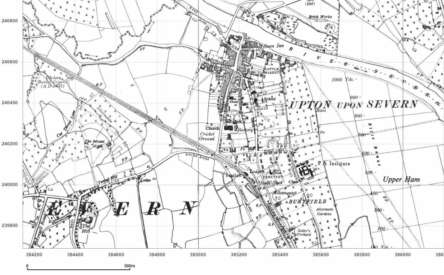
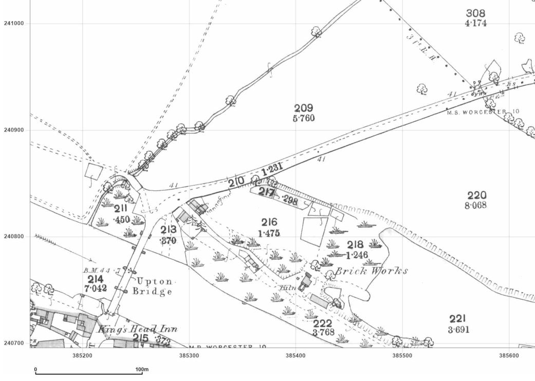
Ordnance Survey Historical Package |
15
High Street, Upton upon Severn |

|
Ordnance Survey Historical Package |
|
|
With this GroundSure Compete Historical Map Pack you have access to the most comprehensive collection of historical maps dating back to the 1840's. This is a very popular product for customers who may have boundary disputes; and for customers who simply want a glimpse into history to see how their place of interest looked in the past. The pack is comprised of approximately 22 A3 maps which can be downloaded in PDF format or printed on request. They include all the available sheets for a particular location, at scales of 1:10,000, 1:10,560, 1:2,500 and 1:1,1250 The cost of this package is Ł135.00 + VAT Either login
(if you already have an account) or register below to view and buy your
map pack. Alternatively,
if you would prefer, we would be happy to order your package for you,
and either print or email your package to you, Note: If
registered with the standard account, a separate login will be needed to
use this advanced option. |
|
|
|
|
|
Step by Step Guide
|
|
 |
We
are now taking payments using |