Worcs. WR8 0HJ
Tel: 01684 593146
or 0800 085 40 80 (UK only)
themapshop@btinternet.com
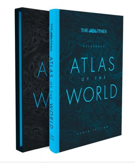 The Times Reference Atlas of the World (Hardback) £60.00 - Order This world atlas contains the breadth, scale and detail to make it an ideal reference resource for school, home and business. Atlas size 25x35x38cm The atlas has been brought fully up-to-date to provide a detailed and attractive picture of the world today. The beautifully illustrated introductory section gives a detailed profile of today's world and covers major contemporary geographical and global issues - such as migration and population growth - through maps and graphics. The reference maps give exceptional detail and provide accurate, accessible and attractive coverage, helping you explore the world. Main features include: • Hardback cover • Authoritative mapping of the whole world • Plans of 46 of the world's major cities • Geographical reference section with flags and statistics for the world's states and territories • Maps and illustrations on major geographical themes, including earthquakes, population, cities, climate and migration • Historical mapping of the world from 1858 to the present day • More than 45,000 index entries |
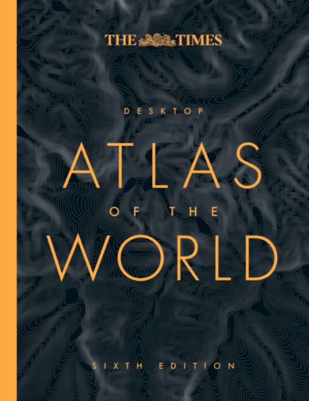 The Times Desktop Atlas of the World (Hardback) £25.00 - Order An excellent world atlas for everyday use at home or work, representing broad coverage at a great price. Clear, authoritative Times atlas mapping fully updated. Atlas size 26x20x20cm. Detailed maps in the distinctive and respected Times style provide balanced, systematic coverag of all parts of the world. Each continent is introduced by a political map showing individual countries, followed by regional maps showing towns and cities, roads, railways, international boundaries and topography. Main features include: • Hardback cover • Authoritative updated Times mapping of the whole world • Geographical reference section with flags, statistics and facts for the world's states and territories • Statistics and world maps on major geographical themes, including population, cities, climate, the environment and telecommunications • Unique 16 pages full of thousands of world facts and figures • Over 25,000 place names Note: This title is not ordinarily in stock, but we can supply on request or receipt of order. |
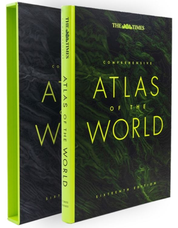 The Times Large Comprehensive Atlas of the World (Hardback) £175.00 - Order Delight in the world's most authritative atlas - a unique and timeless gift for all occasions Atlas size 47x32x45cm Detailing our world as it is today, it includes more than 200,000 place names. At 45cm high, this impressive world atlas will become a treasured possession. In addition to 263 pages of continuous mapping, there area a further 223 pages of extensive indexing, alongside a preliminary section containing essays from trusted academics who discuss topics ranging from global population to climate change, the composition of our solar system, to the water in our oceans. It is a benchmark of cartographic excellence, trusted by governments, media and international organisations, as well as households around the world. Produced in a high-quality finish this comprehensive atlas of the world comes in a protective slipcase with two ribbon markers for ease of use. Note: This title is not ordinarily in sotck, but we can supply on request or receipt of order |
 Collins World Atlas (Paperback) £7.99 - Order A beautiful gift for the adventurers in your family. A new, fully updated editions of this bestselling atlas of the world. Great value and contains all the world maps you need in a budget atlas, for family, study and business use. Atlas size 31x22x07cm. Main features include: • Clear maps giving balanced worldwide coverage • Key statistics and flags for every country of the world • World time zones maps • More than 10,000 places |
 Collins World Atlas - Essential Edition (Paperback) £14.99 - Order A new fully updated reference atlas in the exciting Collins world atlas range. Great value and contains all the world maps you need in a budget atlas, for family, study and business use. Atlas size 31x22cm. Main features include: • Paperback cover • Clear maps giving balanced worldwide coverage • Key statistics and flags for every country of the world • World time zones maps • More than 36,000 places |
 Collins World Atlas - Reference Edition (Hardback) £25.00 - Order A beautiful gift for the adventurers in your family. A new, fully updated edition of this popular atlas in the Collins range. Designed in the distinctive Collins style, it is the ideal reference atlas for school, home and business use. Atlas size 32x23cm. Main features include: • Hardback cover • Highly detailed, updated regional and world-wide mapping • Wide range of topical issues covered including natural disasters, population, climate and the environment • Key country statistics allow comparisons of their state of development and an understanding of today's world • Thousands of facts and statistics insluding world and continental ranking tables • More than 56,000 places |
 Collins World Atlas - Complete Edition (Hardback) £35.00 - Order A beautiful gift for the adventurers in your family. This fully updated, comprehensive atlas presents a complete view of the world, bringing it to life through innovative maps, stunning images and detailed content Atlas size 26x36x27cm. Main features include: • Hardback cover • Highly detailed regional and world-wide mapping • Wide range of topical issues covered including natural disasters, population, climate and the environment • Key country statistics allow comparisons of their state of development and an understanding of today's world • Thousands of facts and statistics insluding world and continental ranking tables |
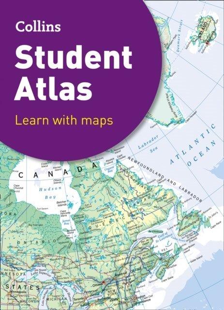 Collins Student World Atlas - (Hardback) £10.99 - Order The perfect GCSE Atlas to get ready to go back to school. This curriculum-supportive world atlas is the perfect tool for students aged 14-16 years (Key Stage 4, GCSE 9-1). Featuring up-to-date reference and thematic mapping, country-by-country statistics, and a fully comprehensive index. Atlas size 31x22x12cm. Main features include: • Thematic maps and accompanying graphs and tables • Covers relevant topics including tourism, telecommunications, environmental and socio-economic issues • Relevant web addresses on each thematic page so students can explore topics more deeply • High quality satellite imagery to illustrate key environmental • Up-to-date demographic and socio-economic statistics that can be used to support geographical, tourist, mathematical, economic or IT projects |
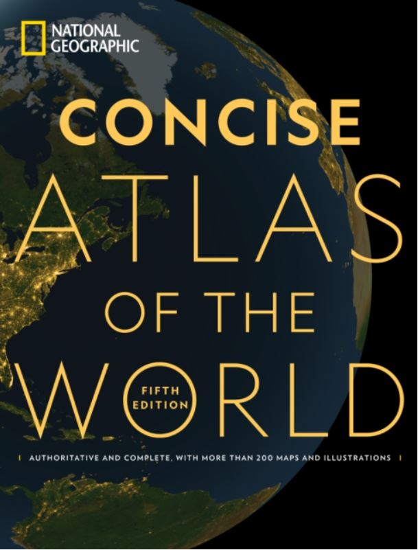 National Geographic Concise Atlas of the World (Paperback) £22.00 - Order This affordable, illuminating softcover atlas features essential maps of the world and its regions, vivid graphics illustrating timely issues of the day, and flags and facts on all 195 countries around the globe. With more than 250 maps, graphics, and illustrations, the National Geographic Concise Atlas of the World offers an authoritative and engaging portrayal of the world and all that is in it. Atlas size 26x34x17cm. Maps and data-based graphics visualise the timely issues, such as population trends, climatic conditions, health, and economics. A special section on space includes aps of Earth's moon and Mars, as well as diagrams of the solar system, the universe, and exploratory missions. Large-format pages allow for copious detail; a sturdy softcover format promises a long shelf life; and a comprehensive place-name index enables quick and easy searches. Note: This title is not ordinarily in stock, but we can supply on request or receipt of order. |
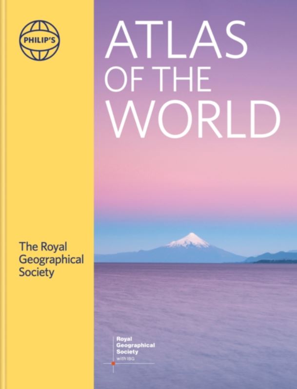 Philips Royal Geographical Society Atlas of the World - (A3, Hardback) £75.00 - Order Packed with the latest statistics and filled with glorious images and cartography, the Philip's RGS Atlas of the World gives a striking view of the Earth's surface and its many complexities and treasures. Atlas size 29x37x38cm. Images of Earth encapsulate the planet using satellite imagery, with images processed exclusively for this atlas. The extensive Gazetteer of Nations has been comprehensively revised to include the latest economic and political information. Atlas includes detailed studies of topics ranging from the Universe to Wealth and Standards of Living. Includes world city plans: 70 of the World's cities are shown in detail with locations of great public buildings and the largest museums and galleries. In the World Maps section, space launch sites added - about 40 sites worldwide. Arctic and Antarctica updated, revising the limits of sea ice to reflect global climate changes. Note: This title is not ordinarily in stock, but we can supply on request or receipt of order. |
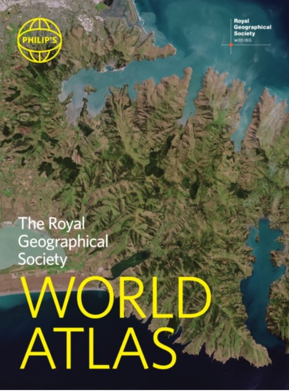 Philips Royal Geographical Society World Atlas (A4, Hardback) £20.00 - Order - Hardback version The market-leading world atlas for work, study or leisure - with 96 pages of authritative world maps, physical and political, 70 city maps in the fascinating World Cities section, with full-page satellite images for 10 great cities, and over 35,000 place names indexed. Atlas size 23x31x25cm. All this and a special 32-page introductory section - 'The World in Focus' - covers key geographical themes such as the Earth's position in the Solar System, the structure of the Earth, climate and weather, the environment, population, resources, economics and international organizations. Vital information on topics covered in geography, humanities and economics courses. Note: This title is not ordinarily in stock, but we can supply on request or receipt of order. Also available in a Paperback version - £16.99 Order - Paperback version |
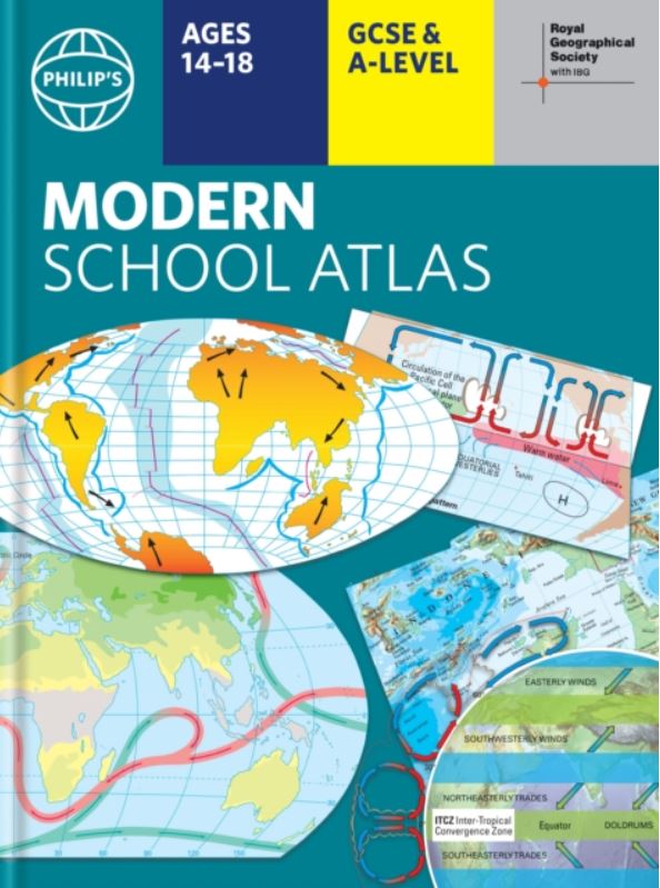 Philips RGS Modern School Atlas - (A4, Hardback) £12.99 - Order Britain's best-selling school atlas recommended for Key Stage 4, GCSE and A-Level in England and Wales (Scottish National Qualifications/Highers) and international schools. Fully updated to reflect the latest changes in the curriculum, and published in association witht he Royal Geographical Society, combining superb digital maps of Britain and the world with up-to-date thematic maps. Atlas size 30x23x17cm. Main features include: • Country-by-country statistics on population, land use, trade tourism, energym wealth and much more • World Themes Section - from volcanoes and earthquakes to population trends, languages and religions, all the key aspects and statistics of geography are explored and explained. • Special section on how satellite imagery is used to interpret gloval, environmental and urban patterns of change • Index with letter-figure grid references as well as latitude and longitude co-ordinates. Note: This title is not ordinarily in stock, but we can supply on request or receipt of order. Also available in a Paperback version - £10.99 Order - Paperback version |
| HOME | EUROPE CATALOGUE |
WORLD CATALOGUE |
|
The Map Shop, Walking and road Maps, Kompass Maps, Michelin Maps, Online, UK, European and Worldwide. Please contact us on ©The Map Shop - Website
created and maintained by The Map Shop, Upton upon Severn. |