 |
General Historical Maps & Guides |
15
High Street, Upton upon Severn Worcs. WR8 0HJ Tel: 01684 593146 or 0800 085 40 80 (UK only) themapshop@btinternet.com |
| Home | Great
Britain Maps & Guides |
European Maps & Guides |
Rest
of the World Maps & Guides |
Search | Return to Historical Selection Page |
| Maps | ||||
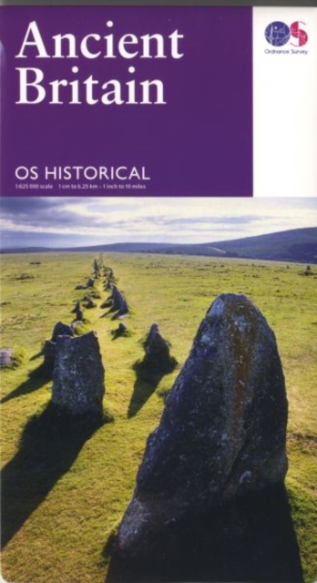
| £ 7.99 | 1/625 000 | Ordnance
Survey Historical Map - Ancient Britain An informative map showing the location of the most important ancient monuments and archaeological sites of Ancient Britain. Key historical sites are highlighted using photographs, text, and thumbnail mapping from the OS Landranger series. It also contains details on life in Britain during this formative period, and information such as useful contacts and websites, and museums to visit. |
Order |
 |
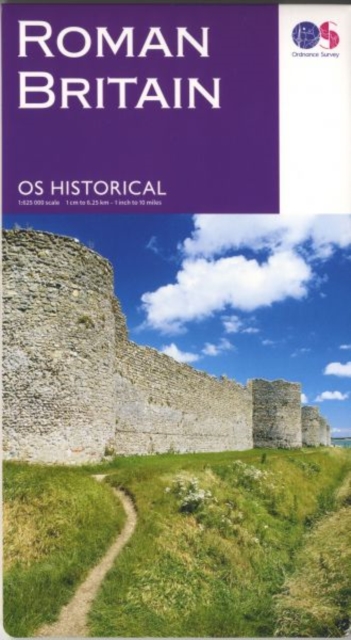
| £ 7.99 | 1/625 000 | Ordnance
Survey Historical Map - Roman Britain The Roman Britain Map provides the ideal overview of nearly 400 yearsof history, during which Britain was a part of the Roman Empire. This map covers the whole of Great Britain and is printed back to back as North and South sheets. It includes a list of key dates, events and archaeological evidence. The OS Historical Map of Roman Britain provides the means to appreciate and visit the rich and extensive archaeological remains from this period |
Order |
 |
|
|
||||
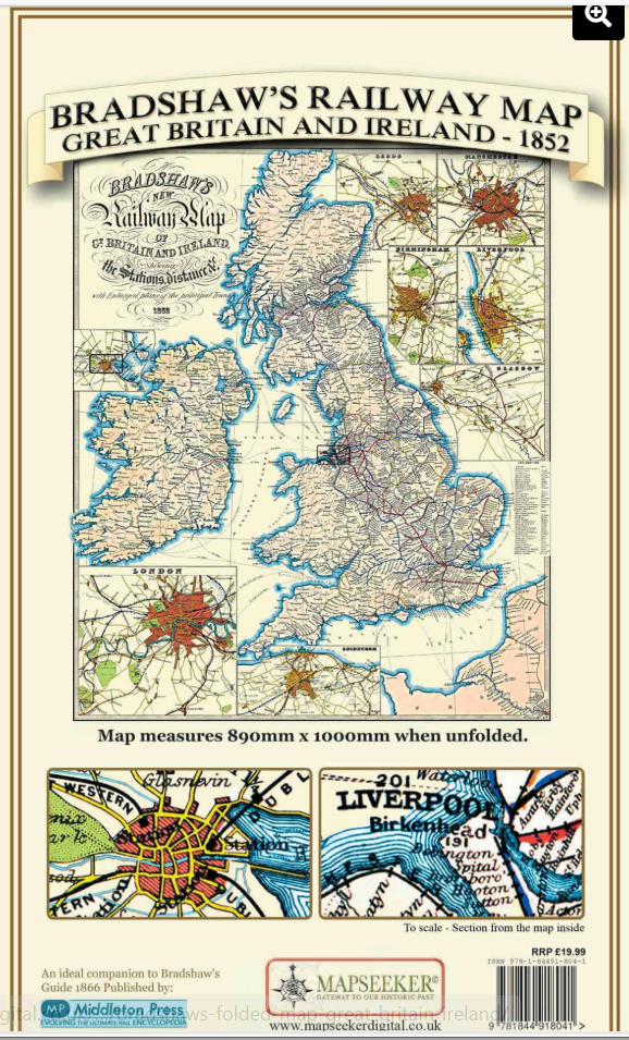
| £19.99 |
Bradshaws Railway Map - Great Britain & Ireland - 1852
Ideal partner to the top selling Bradshaw’s Handbook - Railway Guide following the successful BBC series Great British Railway Journey’s narrated by Michael Portillo. The map folds out to a large 1000mm x 890mm size that is sharp and legible, detailing all the railway routes and stations. The map has been meticulously re-produced from the antique original and printed on 90 gsm “Progeo” paper which was specially developed as a map paper. |
Order | 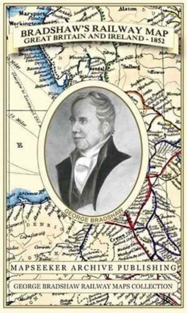
 |
|
| £12.99 |
Bradshaws Handbook - Railway
Guide A facsimile edition of Bradshaw's Handbook of 1863, the book that inspired the BBC television series 'Great British Railway Journeys'. The original Bradshaw's guides had been well known to Victorian travellers and were produced when the British railway network was at its peak and as tourism by rail became essential. It was the first national tourist guide specifically organized around railway journeys, and this beautifully illustrated facsimile edition offers a glimpse through the carriage window at a Britain long past. |
Order | 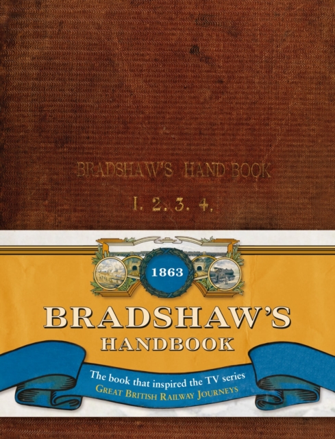
|
|
| £ 9.99 |
Bradshaws Handbook - Railway
Map 1907 |
Order | 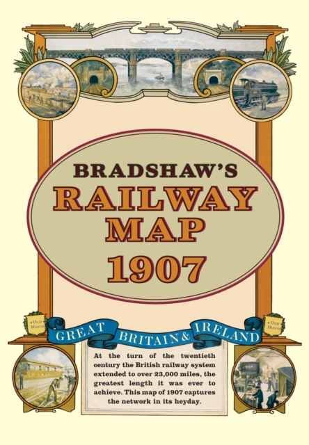
|
|
|
|
||||
| £12.50 | 1/1 500 000 | Austria - Hungary 1890 - Freytag & Map A historical map of Austria and Hungary (Monarchy map 1890) - A facsimile edition of the official map of the empire made by the then court cartographer Gustav Freytag on a scale of 1: 1 500 000, The map shows internal political units within the double monarchy, of Bohemia , Moravia, Silesia and Galicia in the north to Bosnia and Herzegovina in the south, including the neighboring areas in the Balkans, The railway lines are also indicated, with signed relief and numerous geographical names. |
Order | |
| £10.95 | Multigraphic Historic Map of Florence - 1865-71 A detailed map showing the city of Florence in 1865-71 with main buildings, government buildings and place names shown, and theatres, public and private gardens etc. Not scaled |
Order | ||